A tour of Cramond waterfront
Ah, finally I get to Cramond. I’ve photographed nearly every inch of this wee bit of Edinburgh over the years, usually with a ton of camera gear, today it was nice to wander with just a camera and a dog for company. I don’t think too many tourists every find Cramond, it’s pretty well tucked away and unless you know it’s there you’re not going to stumble across it by accident. That said, evidently the Romans did many years ago. I just hope they didn’t park their chariots in the main car park down here.
Much as Cramond is one of the better suburbs of Edinburgh that carpark seems to attact allsorts. At night, park up here and listen to the wee ned boys handbrake turning their shitty pimped up Corsa’s around peppering your car with stones. I’ve even seen it used for dirtier purposes…
BUT, getting away from the point here, lets take a daunder around the beachy area.
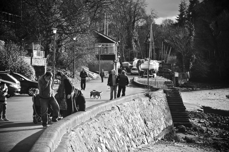
Lets start off with the view upstream from the mouth of the River Almond, for a good chunk of the year this is chockers with boats from the boat club, most photogenic.
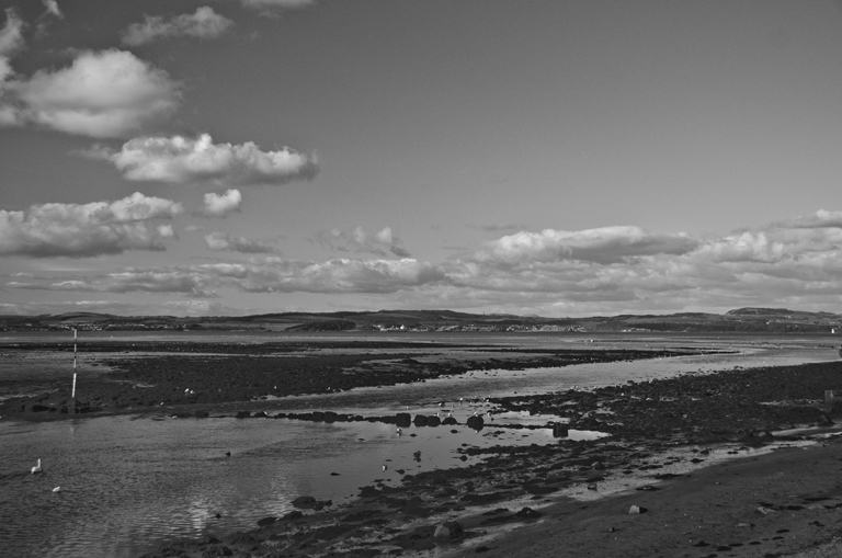
And looking downstream to the mouth of the Almond where it meets the Firth of Forth. It’s not recommended you walk there at low tide, I nearly lost a good pair of boots in the mud.
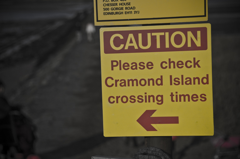
Cramonds main feature is it’s Island and tidal causeway. There’s safe crossing to the island at roughly 2 hours before and after low tide. Really not that difficult to work out yet dozens get caught out and the lifeboats have to come from South Queensferry. There’s even a board with safe crossing times yet it seems to escape so many people. Rule of thumb, if the tide is anywhere near the causeway don’t go over. It floods about 3/4 the way down first and the tide comes in fast.
And the first view of the causeway and Cramond Island at low tide.
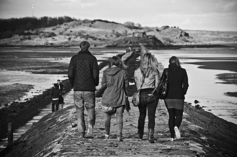
And onto the elevated part of the causeway. In all but the highest tides and roughest seas this part stays out the water. It’s one of those places as a photographer I’ve spent a lot of time at over the years. I’ve also had some very wet feet trying to photograph high spring tides etc.
When you reach the end of the elevated section if the tide is in, probably best to turn around and walk back but if it’s out and safe then you can get down the steps, when I stay steps I mean what looks like they were meant to be steps and onto the lower part of the causeway. If you stand down here roughly 2.5-3 hours before a high tide you can watch the water coming up the causeway and then nip back up to the higher bit. I’ve done it many times photographing the tide coming in and every single time I’ve watched people running back through knee deep water as they simply didn’t bother about the tide.
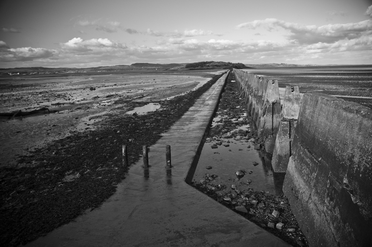
This is the view looking down the right hand side of the causeway, when the tide is right out and the wind is favourable enough water drains out here so you can cross onto the sand. From experience the sand on this side isn’t too bad to walk over (however it’s your own lookout if you find quicksand) but I would not recommend walking on the sand on the other side of the causeway, it’s VERY muddy.
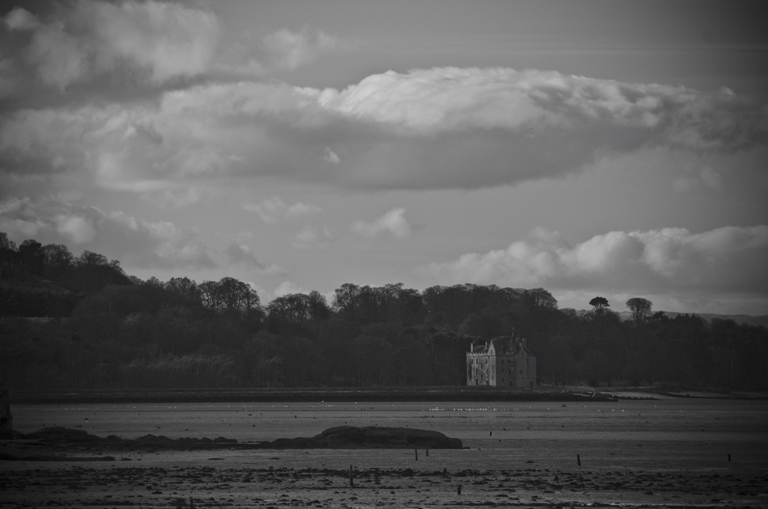
If you look to your left here you can see Barnbougle Castle along the coast. I know nothing about this little castle so you’ll have to Google it!
Here’s a better view of the old WW2 defences along the causeway. It’s popular belief that they were anti-submarine defences but in reality they were defences against small boats, the water even at high tide is far too shallow for a sub, submarines were protected against by netting from the other side of the island to Fife.
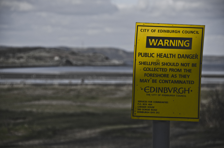
And as we’re now on the beach a WARNING! Don’t be tempted to eat the shellfish… you’ll shit yourself bandy.
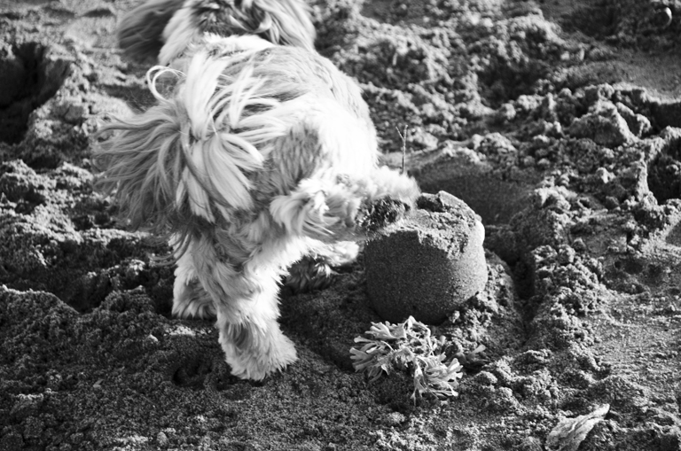
Scrappy didn’t think much of this particular sandcastle…
I’d like to think she’s thinking, “oh look, a handsome photographer”, in reality she’s probably thinking, “whats that fat bastard up to?”
It’s not a bad walk over the sand at low tide, but again, check the tide times and try not to sink up to your arse in wet sand. That’s Newhaven in the background.
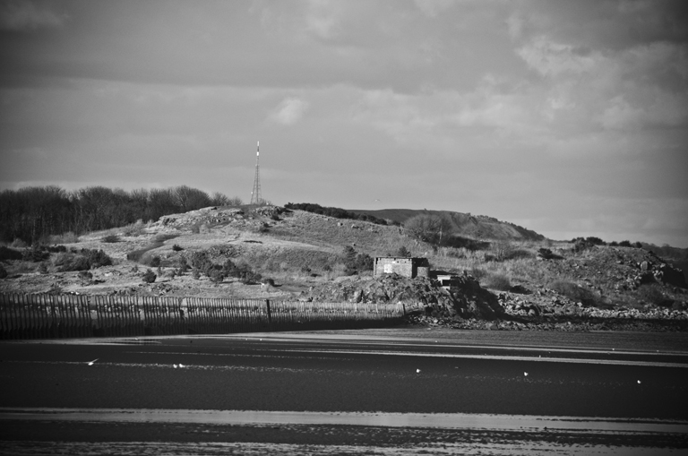
A closer view of Cramond Island, it still has some of the WW2 machine gun posts etc more often used for toilet purposes no doubt for the frequent piss ups that strand themselves on the Island during the summer.
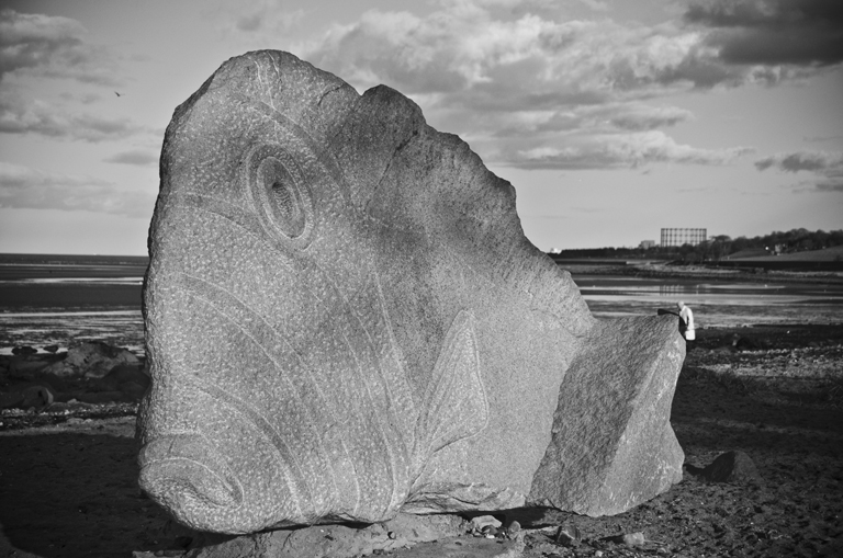
And lets finish up with the Cramond fish, this has been here for a while now and it’s not covered in shitey wee neds names in spraypaint. Remarkable.






Nice pics. I was there last summer, unfortunately at a rainy day. But I loved it.